Tokushima selects a developer for its official cycling and tourism digital map
Tokushima selects Cyujo from five applicants to prepare a cycling map connecting routes, sights and rest stops.
TravelTokushima2 min read
Tokushima Prefecture is preparing a new digital map intended to connect cycle-tourism routes with useful places along the way. On 20 October 2026, the prefecture announces the selection of Cyujo Co., Ltd. as the preferred contractor after a competitive process involving five applicants.
The proposal seeks to make cycling easier to understand as a journey through destinations, not simply a line on a map.
Official cycling routes meet local knowledge
The original 7 September 2026 specification calls for an online map incorporating Tokushima's official cycling courses and the regional resources surveyed during fiscal 2025, including tourism facilities, viewpoints and places to rest. The aim is to support comfortable and safer cycle tourism with relevant information visible in geographical context.
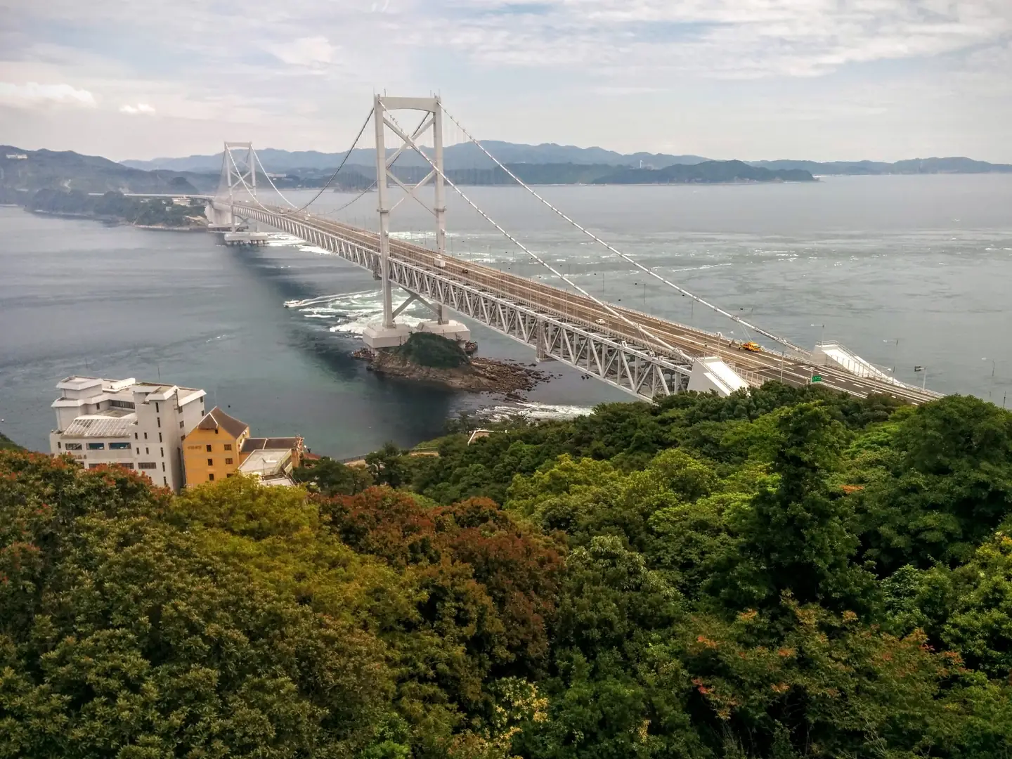
The prefecture explicitly places the project in the context of the World Masters Games 2027 Kansai and its preparations for the Ōnaruto Bridge cycling connection. These are reasons for planning better tourism information, not evidence that the bridge bicycle route is already operating.
A selection, not a public launch
The 2026 procurement specifies a contract value ceiling of ¥2.5 million, including tax, and a project period extending to 31 March 2027. The October notice identifies the preferred contractor, not a finished consumer app or an operating route-navigation service. Features beyond the official specification, including offline maps or turn-by-turn directions, have not been confirmed.
The development reflects a broader change in regional travel information: mapped routes become more useful when connected to the facilities and everyday services visitors actually need. For people travelling around Shikoku, that same relationship between routes, destinations and local knowledge matters whether the journey is by bicycle, train or on foot.
Sources: Tokushima Prefecture, 20 October 2026 selection result; 7 September 2026 project specification.
More news
CeremoniesTokushima2 min read
Hashikura-ji prepares its autumn sutra-reading festival and blessed rice-cake offerings
Sacred PlacesEhime2 min read
Ōshima temple prepares its rare 33-year opening of the Thousand-Armed Kannon
Sacred PlacesKagawa2 min read
Shōdoshima offers guided mountain pilgrimage with a traditional goma fire ritual